

This stage at a glance 
- Days on the bike: 9
- Minimum Distance: 583km
- Estimated Climbing: 6,230m
- Longest daily ride: 82km
- Biggest Test: The ride to the Cape – 128km on a single battery charge
We should really call this stage 2 as the last month has also been a ‘testing’ time. The first job was getting comfortable riding a big bike and then gradually increasing the distances and difficulty of the rides before finally adding our 31kg of gear. Maybe it is better to call it the laboratory phase and now we are ready to take the Mo out for some real world testing. Our lab testing has already taken us over more than 700km of the Far North’s roads. The big upcoming tests are:
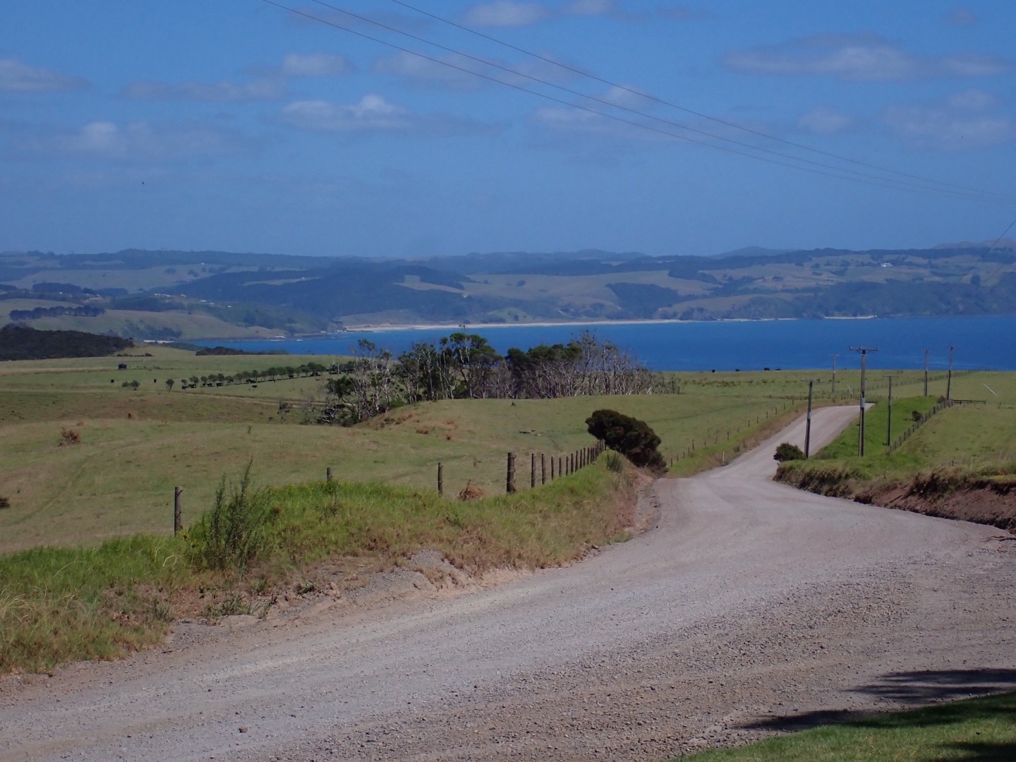
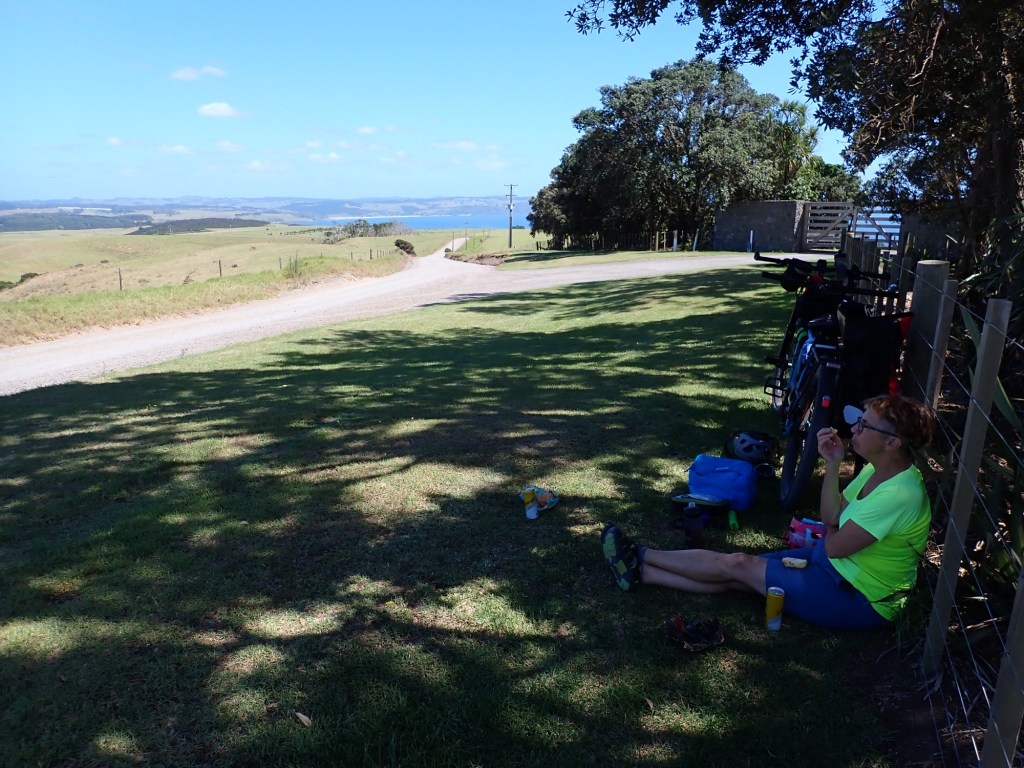
- How we, especially the Rear Admiral, will handle the consecutive days of longer rides. So far she has passed our lab work with flying colours but the last ride to remote Marsden Cross was a challenge, particularly the combo of heat and a very rough and dusty 22km stretch of the very worst The Far North can throw at us.
- How far will we get on a single charge. For most of our riding both in the Far North and later around Aotearoa, range should not an issue. It is just a few remote rides where charging is not possible overnight. Our 128km ride via Cape Reinga is the first range test. While Bosch have a great range calculator, there is no option to calculate for a tandem. The best I could do was use a cargo bike setting but that has only one set of legs. It tells me that on a tough day with everything against us (hills, wind, surface, temperature, weight) I could expect 111km. My lab testing with two sets of legs suggests 153km. I guess we will find out – the Rear Admiral will deal with me if I am wrong…..
- How the gear setup, ride distances, water, food, apparel and so on pan out. Provisioning options are pretty limited in The Far North and we do get to try out the camping option up at Taputaputa (a few km from Cape Reinga). We will be looking to learn from this experience and refine these for the big ride in October. Will we have enough water in this heat?
- The heat! This is looking to be a challenge given the hot weather we have experienced over this last month. Our strategy for hot days is to hit the road early.
This ride most certainly counts as part of our 7,500 km circuit of the Country. It is appropriate that it is around our home district as that is the focus of the charity (Bald Angels) that we are supporting. A lot of the difficulties that we will face during this ride are experienced by too many of the locals and make challenging lives even harder, especially for the kids. Most kiwis only experience of the Far North is the Bay of Islands. We hope our ride will share what the rest (most of it) of the region is like.
We are riding through the area covered by our local Far North District Council. A land area of 6,687km2 populated by 74,700 people (Greater Auckland covers 4,941km2 with 1.74million people). In the North there are only a few population centres that have reasonable services (an issue for us during our ride).
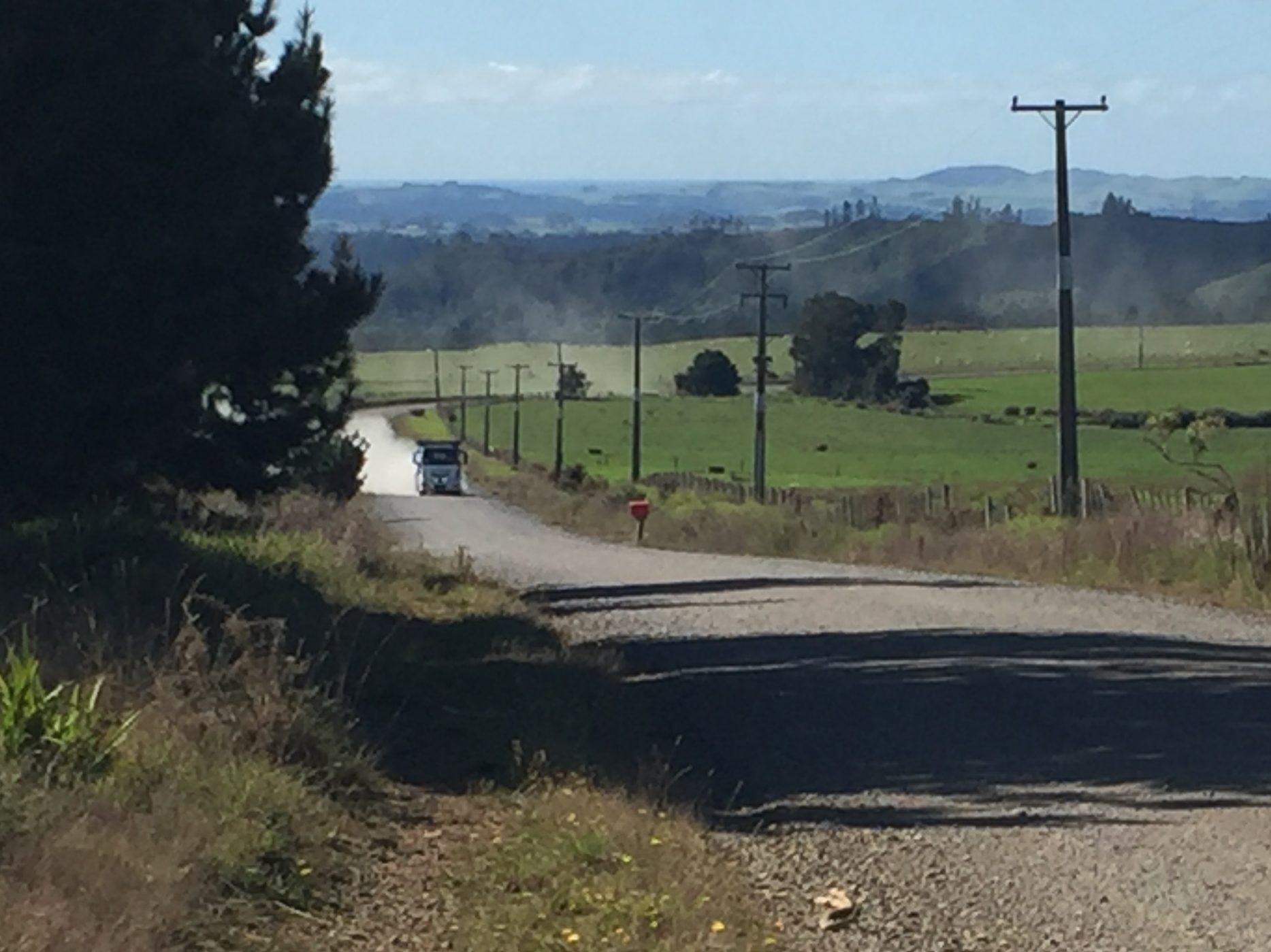
Our Council is responsible for 2,508km of roads of which 65% are unsealed (another issue for us during our ride) and are never likely to be sealed. The Council estimates that in order to seal these roads the average rates bill would have to increase by $14,000 per annum (the median household income is $97k v $159k (Auckland) & $124k (NZ)). That Far North figure will be skewed by the more prosperous on populous Bay of Islands. With our sparse population there is no effective public transport (you better go all the way Mo). The power network covers more than 4,500km of lines and even that does not reach every family, especially in remote areas. Both the roading and power networks are susceptible to the high number of storms we have been experiencing in recent years. SH 1 is still closed south of Kaitaia, a state that it has mostly been in since July 2020.

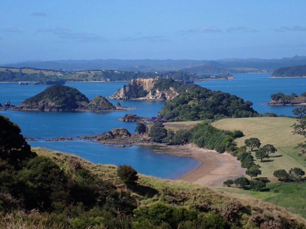
This ride promises to tick the ‘get out of our comfort zone’ box, in spades. Gravel roads, heat, hills and along many paths less traveled (as well as a few sections of those that are well traveled) but hopefully with some amazing destinations to chill out at the end of it all. Our nine rides will take us to:
- Rawene on the Hokianga Harbour on the West Coast.
- Ahipara at the southern end of 90 mile beach – we won’t risk the Mo on the sand and salt of the beach – Cliff rode it in 2021 on his manual mountain bike.
- Te Kaeo at the southern end of Parengarenga Harbour.
- Taputaputa Bay below Cape Reinga (no power or potable water here) and probably the worst road we will encounter in NZ to access it.
- Houhora Heads on the Houhora Harbour.
- Tokerau Beach on the Karikari Peninsula.
- Hihi Beach on the Mangonui Harbour.
- Tauranga Bay at the entrance to Whangaroa Harbour.
Please remember when we report on the terrible roads and struggle to find food supplies, we are riding to help young kids that face these, and greater, challenges every day.


Discover more from The Angel Tandem - Adventures on the wrong side of 60
Subscribe to get the latest posts sent to your email.

Great Stuff Cliff~ hope you can do a link to this for our Carbon Neutral website? This is so good: are you putting it on social media as well (probably already done?) Cheers, Inge
>
LikeLiked by 1 person
Hi Inge – it is going on social media – I have set up a presence for “Angel tandem’ on Instagram, Facebook and we have created a YouTube channel. I will start working in the low carbon travel angle and will start putting some links through to CNT website
LikeLike